|
|
|||||||||||||||||||||||
|
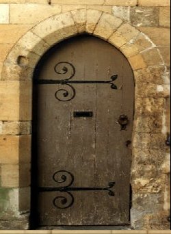
Doors to the Past |
|||||||||||||||||||||||
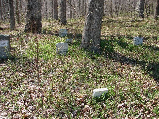
Miller Cemetery MILLER CEMETERY
Miller Detail ListLatitude: N 38° 14. 022 From US Route 60 in Cabell County at Barboursville, WV. Take Alt. 10 and Route 10 South to you come to Salt Rock. At the Chevron Gas station turn Right onto Madison Cr. Rd. Go about 5.6 miles or till you come to Bowen Creed Rd. Now go 3.6 miles or till you come to Hughes Branch/Raccoon Creek Rd. Turn Left and go 1.5 miles or till you come to Beach Fork Rd. At this junction in the road keep Right and you will still be on Beach Fork Rd.. Also there is a sign for Bethlehem United Baptist Church at this junction. (All mileages will be from this point). Stay on Beach Fork Rd. and go 6.2 miles or till you come to Simpkins Creek Rd. Turn Left on this gravel road and go to the top of the hill (about 1.2 miles). The cemetery will be on your Left. The cemetery is not fenced and not maintain. Read April 13, 2006.
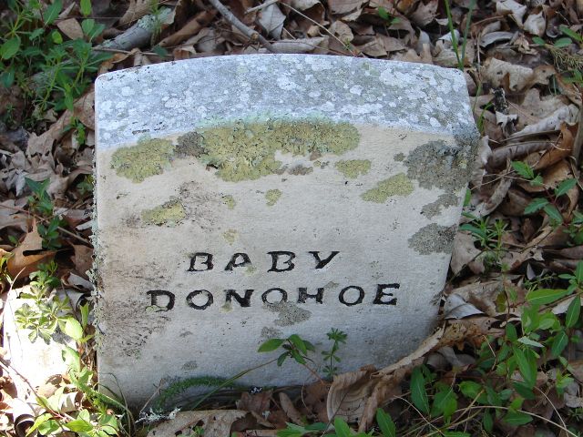
Footstone: (blank) [ Headstone ]
Footstone: (blank)
No other info with this marker.
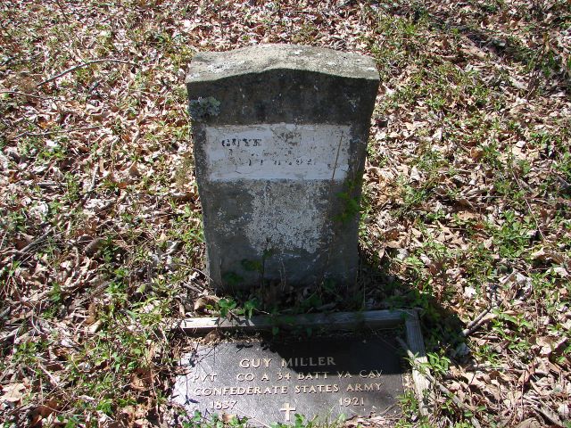
Footstone: (blank) [ Headstone ]
Footstone: (blank) [ Headstone ]
|
|||||||||||||||||||||||