|
|
||||||||||||||||||||||||||||||||||||||||||||||||||||||||||
|
Doors to the Past |
||||||||||||||||||||||||||||||||||||||||||||||||||||||||||
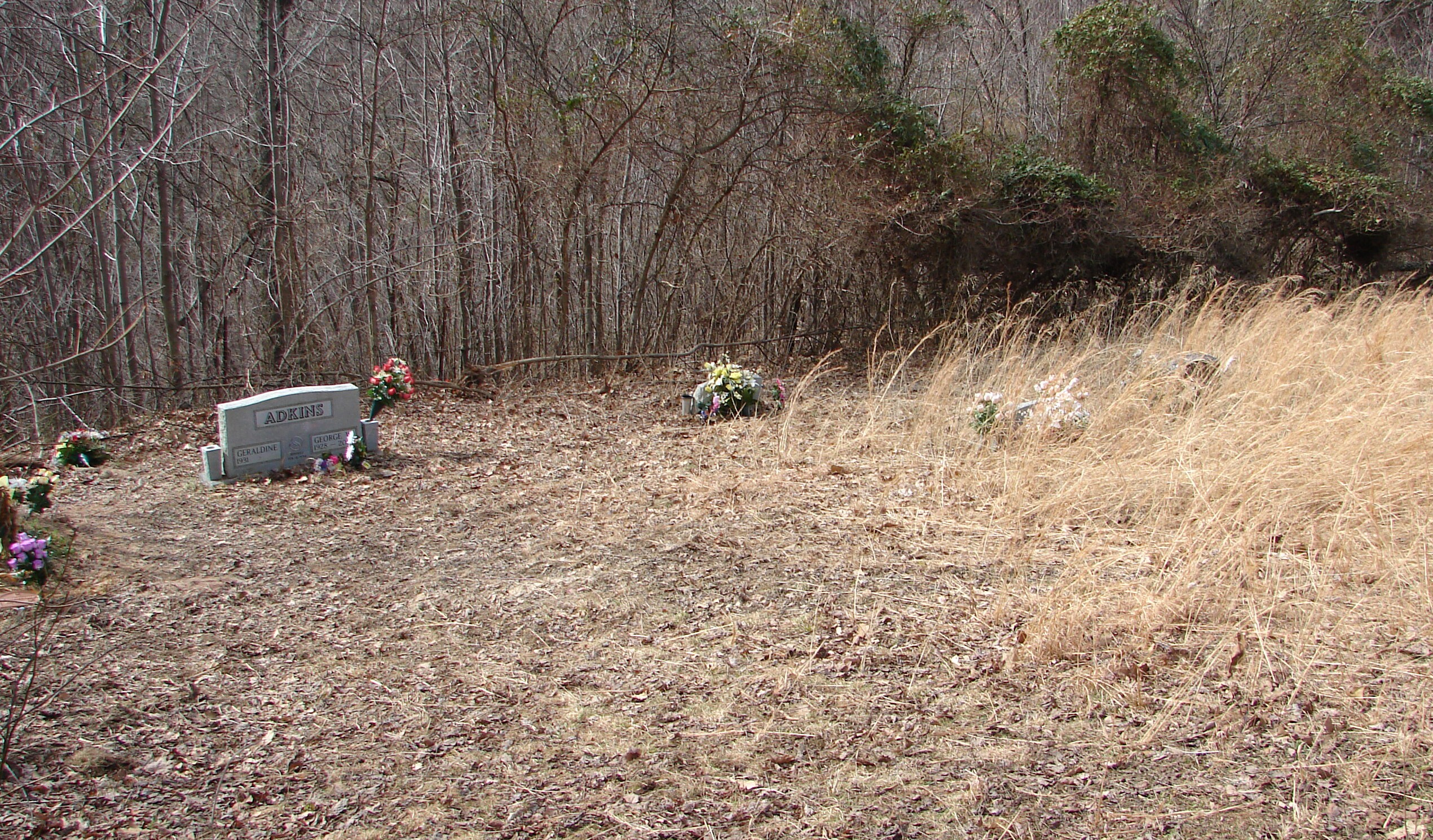
Adkins (Boyd)ADKINS (Boyd) CEMETERY
Adkins (Boyd) Detail ListLatitude: N 38ー 16.257 Take Alt. 10 and Route 10 South
to you come to Salt Rock. At the Chevron Gas station turn Right onto
Madison Cr. Rd.
Go about 5.6 miles or till you come to Bowen Creed Rd. Now go 3.6 miles or
till you come
to Hughes Branch/Raccoon Creek Rd. Turn Left and go 0.7 miles or till you
come to the first gavel Rd. that turns Left and goes up the hill. The Cemetery is at
the top of the hill (About 2.0 miles).
You will come to a set of red gates and the Cemetery will be about 0.3 mile on
past them.
The cemetery is to your Right just before you get to the top.
The cemetery is fenced but not maintain. The following list was compiled by actual reading of the
tombstones. Read January 05, 2006.
No dates with this marker. Footstone: "A.D."
Footstones: "B.A." and "A.A." WALLACE FUNERAL HOME
Footstone: (blank)
Footstone: (blank)
Note: This grave is marked with a Medal Marker only. WALLACE FUNERAL HOME
Footstone: (blank)
WALLACE FUNERAL HOME
WALLACE FUNERAL HOME
|
||||||||||||||||||||||||||||||||||||||||||||||||||||||||||

