|
Doors |
|||
|
Doors to the Past |
|||
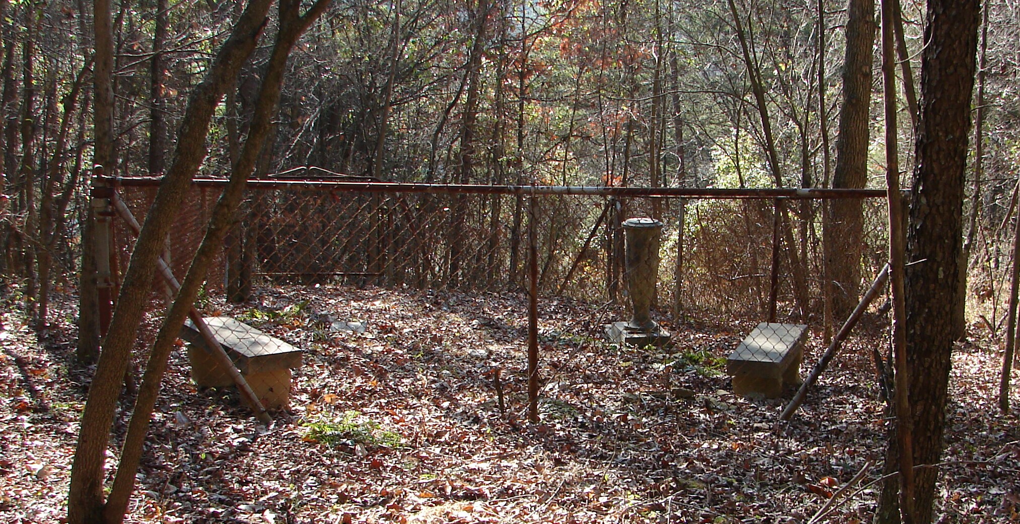
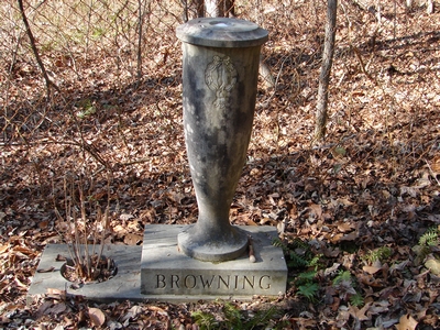
Browning CemeteryBROWNING CEMETERY
Latitude: N 38° 19.761 From Barboursville, WV take State Route 10 to Salt Rock. Cross the railroad tracks and go to the Exxon gas station. Turn Left on McComas Rd. and go to Tyler Creek Rd. Turn Right on Tyler Creek Rd. and go to the first blacktop driveway on your Left. Go up the driveway to the house (Midkiff) and asked about going to the cemetery. To get to the cemetery you need togo up the road behind the house to the first road that turns Left. Take this road to the next road and turn Left again. Go down the hill about 100 yards and take the path to the Right. This will take you to the cemetery. It is fenced and clean. The following list was compiled by actual reading of the tombstones. All the information, excluding annotation, is written on the tombstone. Read December 22, 2005.
Note: The above was the only marker with
any dates. [ Picture ]
|