|
Ridgelawn Cemetery -------------------- -------------------- Sections |
|
|
Doors to the Past |
|
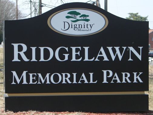
Ridgelawn CemeteryRIDGELAWN CEMETERY
Latitude: N 38° 24. 579 The Cemetery is located in Cabell County, West
Virginia on US 60. Read 2009 Updated: 2018 Submitted by Barry Huffstutler. [ Cemetery Map ] The Cemetery will be broken down into 12 sections for the purpose of record and reading the markers that are located in the cemetery. Also there are 2 mausoleum located in the cemetery. Mausoleum # 1 -- Will be to your Left as you come in the Mausoleum # 2 -- Will be at the top of the hill at the Columbarium -- Will be on the Right side of Section A -- See Cemetery Map. Section B -- See Cemetery Map. (There are no burials Section C -- Starts directly behind the office and runs around Section Little C -- Starts at the Main Entrance on your Section D -- See Cemetery Map. Section E -- See Cemetery Map. Section Little E -- This is a very small section that is Section F -- See Cemetery Map. Section G -- See Cemetery Map. Section H -- See Cemetery Map. Section I -- See Cemetery Map. Section J -- See Cemetery Map. Section K -- See Cemetery Map.
|