|
|
|
|
Doors to the Past |
|
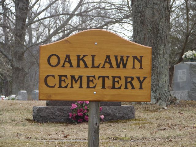
Oaklawn CemeteryOAKLAWN CEMETERY
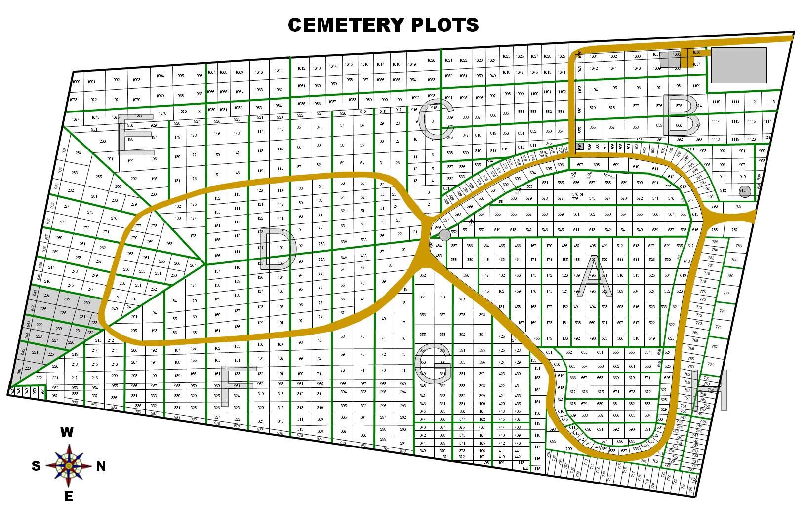
Latitude: N 38° 25. 013 [ Map ] Note: Click on the map to enlarge. This cemetery is located in Barboursville, WV. on East Pea Ridge Road. The cemetery is fenced and maintained. Read February 2009 Submitted by Barry Huffstutler. The Cemetery will be broken down into 6 (Six) sections for the purpose of record and reading the markers that are located in the cemetery. Section A -- will be directly in front of you as you come into the cemetery. Section B -- will be directly behind Section A and across the road
on Section C -- will start at the Green House and run around to the
back Section D -- will start at the dirt pile in the back of the
cemetery and Section E -- will start at the end of Section D where the markers Section F -- will start near the tall marker for the Johnson
Family Note: This Cemetery has several burials that are not Marked. Make your selection on the Left Side
|